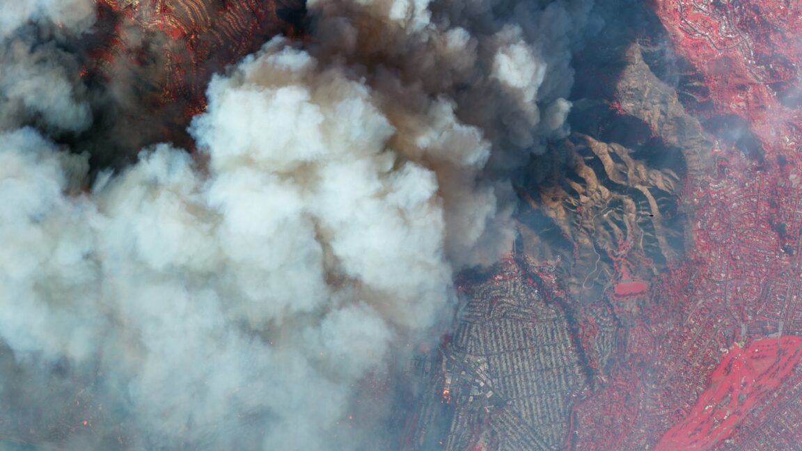
Let’s start with the meteorology. The Palisades wildfire and other nearby conflagrations were well-predicted days in advance. After a typically arid summer and fall, the Los Angeles area has also had a dry winter so far. December, January, February, and March are usually the wettest months in the region by far. More than 80 percent of Los Angeles’ rain comes during these colder months. But this year, during December, the region received, on average, less than one-tenth of an inch of rainfall. Normal totals are on the order of 2.5 inches in December.
So, the foliage in the area was already very dry, effectively extending the region’s wildfire season. Then, strong Santa Ana winds were predicted for this week due, in part, to the extreme cold observed in the eastern United States and high pressure over the Great Basin region of the country. “Red flag” winds were forecast locally, which indicates that winds could combine with dry grounds to spread wildfires efficiently. The direct cause of the Palisades fire is yet unknown.
Wildfires during the winter months in California are not a normal occurrence, but they are not unprecedented either. Scientists, however, generally agree that a warmer planet is extending wildfire seasons such as those observed in California.
“Climate change, including increased heat, extended drought, and a thirsty atmosphere, has been a key driver in increasing the risk and extent of wildfires in the western United States during the last two decades,” the US National Oceanic and Atmospheric Administration concludes. “Wildfires require the alignment of a number of factors, including temperature, humidity, and the lack of moisture in fuels, such as trees, shrubs, grasses, and forest debris. All these factors have strong direct or indirect ties to climate variability and climate change.”

